3D Mapping and Survey Services Using Drones


3D mapping and measurement using drones is an innovative technology that allows for the precise collection of spatial data and the creation of detailed three-dimensional models of terrain, buildings, infrastructure, and other structures. This service is widely used across industries such as construction, agriculture, real estate, environmental management, and urban planning.
What is 3D Mapping with Drones?
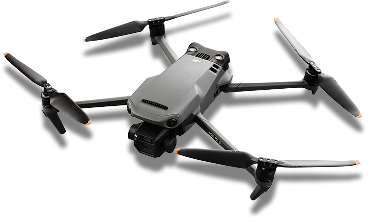
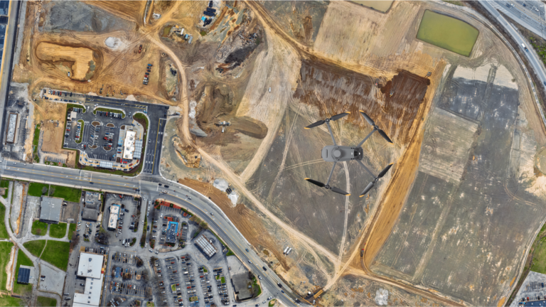
Drones equipped with advanced cameras, LiDAR sensors, and GPS technology fly over a designated area to capture high-resolution images and measurements. These data points are then processed using specialized software to produce accurate 3D models, maps, and measurements.
Key Features of 3D Mapping and Measurement Using Drones
- High-Resolution Imaging:
- Drones capture detailed images from multiple angles to ensure a comprehensive view.
- Supports photogrammetry techniques to create accurate 3D reconstructions.
- LiDAR Integration:
- Laser-based technology captures elevation data, even through vegetation or obstructions.
- Useful for topographical surveys and detailed terrain analysis.
- Real-Time Data Collection:
- Provides immediate access to raw data, enabling quick decision-making.
- Georeferencing:
- Data is tied to precise geographic coordinates, ensuring accuracy.
- Flexibility in Applications:
- Suitable for both large and small-scale projects.
How Does It Work?
- Planning the Mission:
- Define the area to be mapped and set parameters such as altitude, overlap, and resolution.
- Drone Flight:
- The drone performs a pre-programmed flight path to capture data.
- Data Processing:
- Images and measurements are processed into 3D models, orthomosaic maps, and other deliverables using advanced software.
- Analysis and Reporting:
- Generate actionable insights and export data for use in industry-specific applications.
Applications of 3D Mapping and Measurement
- Construction and Infrastructure:
- Site planning and progress monitoring.
- Volume calculations for earthworks.
- Real Estate and Architecture:
- Visualizing properties and structures in 3D for marketing and design.
- Creating accurate floor plans and exterior layouts.
- Agriculture:
- Mapping fields to analyze crop health.
- Planning irrigation and drainage systems.
- Environmental Monitoring:
- Surveying forests, coastlines, and other natural areas.
- Detecting changes in terrain over time.
- Urban Planning and Development:
- Mapping cities for planning infrastructure and zoning.
- Assessing land use and population density.
M
- Mining and Quarrying:
- Measuring stockpile volumes.
- Mapping excavation sites for safety and efficiency.
Benefits of Using Drones for 3D Mapping
- Accuracy:
- Advanced sensors provide precise data with minimal errors.
- Efficiency:
- Faster than traditional surveying methods.
- Cost-Effective:
- Reduces the need for manual labor and expensive equipment.
- Safety:
- Drones can access hard-to-reach or hazardous areas without risking human lives.
- Scalability:
- Suitable for projects of any size or complexity.
Deliverables:
- 3D Models: Interactive models for visualization and planning.
- Orthomosaic: High-resolution, georeferenced maps.
- Point Clouds: Detailed spatial data for analysis.
- Elevation Models: Both Digital Terrain Models (DTMs) and Digital Surface Models (DSMs).
This service revolutionizes data collection, making it faster, safer, and more accurate, and is a vital tool for modern businesses and organizations aiming to optimize their operations.


